Onderzoek Cities have always been built in hostile and harsh environments. Technological advances have helped increase the safety and security of their inhabitants and, to a large extent, have divorced the urban area from local environmental constraints. However, the dominance of economic issues in the development of urban form has created a legacy of exposure and vulnerability to flood risk, and a growing recognition of the limitations of this methodology has led to a desire to manage flooding in a way more in harmony with nature. This paper contends that, with regard to flood risk management, there has been a transition from self-protection to engineered defence to the current ideology of natural management, which provides a driver for consideration of the nature of an idealised urban form that is more resilient to flood risk, designed to absorb water and minimise damage. The paper identifies reflexivity, knowledge and adaptation as the three underlying principles of a theoretical ‘absorbent city’ and aims to stimulate debate by describing the potential urban form of a flood-resilient urban area, according to geographical and climatic constraints. Adaptive measures needed to help increase resilience are also discussed.
And on the pedestal these words appear: ‘My name is Ozymandias, king of kings: Look on my works, ye Mighty, and despair!’ Ozymandias (Shelly, 1818)
The overriding message of Shelley’s Ozymandias is hubris, designed to emphasise the transience of civilisation when compared with time and the power of nature. This central theme further argues that the built environment and human activity are limited and constrained by external factors, most notably local environmental risks. The nature of specific threats and the available technology and knowledge may alter mitigation strategies and successful settlements have attempted to adapt to risks by altering urban form and function. For example, after the Great Fire of London in 1666, an increased awareness of the vulnerability of the city to this hazard resulted in the first bylaws introduced to regulate building design to inhibit the spread of fi re. The desire to examine urban form and function with a view to working towards a more advantageously designed city also has a long and well-defined history. Aristotle’s Politics discusses the nature of an ideal city with regard to aspects such as its site and construction, while more contemporary movements, such as new urbanism and smart growth, have questioned the current development paradigm and highlighted the need to think more strategically and long term.
Although contemporary hazards may differ from those of antiquity, history demonstrates that the development of design-led solutions and intervention strategies to manage risks have always had a symbiotic relationship with urban living. However, we need to ask ourselves why, in an age of unparalleled knowledge and expertise, do we arguably have the highest ever exposure and vulnerability to hazards, especially those of an environmental nature? The factors that have influenced the nature of current urban forms and functions have been predominately economic in origin, and in developed cities environmental risks have been addressed from a technocratic perspective or underwritten by economic tools, such as the availability of state or private insurance. The perception that risk can be effectively managed and that engineering can remove environmental constraints is now being questioned in the face of a rising incidence of ‘natural’ disasters.
The rising trend towards urban living and the escalating costs of hazardous events has resulted in a growing awareness of the need for modern cities to adapt to their local conditions to manage environmental risks more effectively in the face of a changing climate. Where urban areas were once seen as a place of safety, cities are now the hub of modern risks and there is a recognition that urban development patterns have profound implications for managing hazards. This paper argues that the current vulnerability to flooding is the result of historical development paths, and that our exposure and vulnerability to flood risk during the 21st century will depend on how we act now and in the near future. This work aims to stimulate debate in this area by investigating the potential for spatial planning to assist in the development of more resilient cities, with particular regard to the ability to manage flood risk more effectively. It investigates the principles underlying an idealised urban form and function of an ‘absorbent city’ and discusses the ability of spatial planning to move towards this goal.
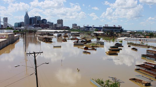
Cover: ‘2015.03.02_The absorbent city_660’